Portland faces potential record warmth after heavy rain
Residents will experience a dry, warm stretch through Thursday before wet, breezy weather returns for the weekend.
By Marco Ortega ·
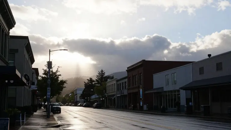
Portland residents should prepare for a dry period this week that may bring temperatures near the daily record for this date. The city recently received 0.60 inches of rain, while Troutdale accumulated more than one inch. This precipitation exceeded initial expectations, as weather models had predicted a lighter shower pattern for the metro area.
The unexpected rainfall resulted from a southward shift in the atmospheric river. This system delivered steady rain to the Rose City rather than the lighter precipitation forecast for Salem. Meteorologists noted that the atmospheric river's bulk had moved, causing the heavy totals observed in the eastern suburbs.
Conditions will improve as the jet stream pushes the rain band north toward British Columbia. The area will remain dry through Thursday. A strengthening ridge over the Pacific Northwest will drive a warm southerly flow, keeping temperatures above average for the next two days. Forecasters indicate that a high of 65 degrees would establish a new daily record for Portland.
The dry spell will end on Friday when a wet system moves inland. Light rain is expected to persist throughout the day, with totals reaching a quarter inch in the western valleys. Wind gusts along the coast could exceed 40 miles per hour on Friday and Sunday. Inland areas will see lower gusts, ranging from 20 to 25 miles per hour.
Additional waves of rain will arrive on Saturday and Sunday, creating a wet weekend. The region will remain in a troughing pattern through midweek next week. This pattern will maintain lingering shower chances, though drier breaks are anticipated starting on Monday.