Wyoming Weather: 55 mph Gusts Expected as Rain and Snow Move Across the State Monday
A high wind warning is in effect for Buffalo until 3 p.m. Monday, while mixed precipitation and gusty winds affect the rest of the region.
By Chinedu Schneider ·
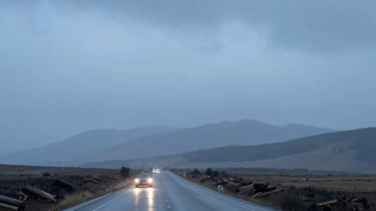
Wind gusts reaching 55 mph are forecast for Buffalo, Wyoming, on Monday, November 2, under an active high wind warning. The National Weather Service issued the warning for that area until 3 p.m., coinciding with the peak of the day's strongest winds. Residents in the north central region should expect sustained high winds alongside rain that will primarily fall before 2 p.m.
The weather system brings a mix of precipitation to most of the state. Rain and snow are likely or near certain in many locations, including Cheyenne, Laramie, and Douglas. Highs will generally stay in the 40s, with some areas like Torrington reaching 50 degrees. Lows will drop into the 20s and low 30s overnight as the system clears.
The timeline for the weather shift begins early Monday morning. Precipitation is already likely in the west, with rain and snow expected in Casper and Glenrock. In the northwest, Dubois and Jackson will see chances of precipitation before 8 a.m. The central and northern regions, including Sheridan and Gillette, will experience rain throughout the day, with winds picking up speed.
Winds will vary by region but remain strong. In the east, Torrington and Guernsey will see gusts of 50 to 55 mph. The north central area, specifically Buffalo, will hit the 55 mph mark. Southwest locations like Lyman and La Barge will face gusts in the 30 mph range. The western mountains will see lighter winds, with Pinedale and La Barge gusting near 31 mph.
Temperatures will remain cool across the board. The highest temperatures are expected in the southeastern plains, where Torrington will hit 50 degrees and La Barge will reach 47 degrees. Most other cities will top out between 40 and 46 degrees. Overnight lows will fall to 20 degrees in the northwest, such as at Old Faithful in Yellowstone National Park, and 34 degrees in the eastern plains.
Conditions will gradually improve overnight. Skies will clear from the west, with Pinedale and La Barge becoming sunny. In the central and northern regions, clouds will give way to partly cloudy skies. Rain and snow in the east and north will taper off, with precipitation in Gillette and Newcastle ending after 10 p.m. Patchy fog is also expected in Sheridan after 11 p.m.
The high wind warning for Buffalo is the most formalized alert for the day. Other areas will experience breezy to windy conditions but without the specific warning status. For example, Thermopolis in the Bighorn Basin will see gusts of 45 mph, while Cody will see 26 mph. The wind will remain a factor until evening, with overnight gusts still reaching 40 mph in some eastern locations.
This pattern concludes a period of unsettled weather, with the system moving out to the northeast. By Tuesday, conditions should stabilize as the rain and snow move off the state. The key takeaway for Monday is the combination of wet roads from mixed precipitation and strong, gusty winds that could affect travel and outdoor activities, particularly in the north and east.
Source: Cowboy State Daily